Internship
List of internships

Spatial Services GmbH

CityAI Private Limited
Spatial Services GmbH
Overview
The addition of some professional experience is critical for maximizing the return on education. Internships are a great way to gain professional experience and can serve as a springboard for long-term professional success. Towards the end of my first semester of my master, I was looking for an internship opportunity to meet the requirements set forth by EM CDE for completion of the course and to expand my work experience. With the goal of finishing, it by the end of the second semester and before moving on to my specialization track in Czech, I looked for several organizations that work in the geospatial domain.
During my search, I learned about many organizations working in the geospatial domain over Europe. However, because of the pandemic, I wanted to stay in Austria and thus I applied for an internship at Spatial Service, which was well-known in Europe for its contributions in the field of geoinformatics. When applying for the internship I knew Spatial Service as a spin-off from the University of Salzburg that develops and implement geoinformation products and service.
A Simple Introduction to the Company
Spatial Services GmbH is a service and consulting company located within Salzburg University, with a tagline of “Geoinformatics Meets Technology: We are spatial experts”. They aim to develop and implements geoinformation products and services aiming at resource-efficient and sustainable development in support of climate change adaptation, stable livelihoods, secure energy supply as well as smart city and mobility planning. They focus on Earth Observation data exploitation, sensor system and integration of spatial indicators. As a spin-off from the university, the company represents a link to research results from the Interfaculty Department for Geoinformatics, Z_GIS and incorporated their developments for creating improved user-oriented products.
When interview by Hubert Schöndorfer, Ahmad Alobaidi and Jonnas, I was given an opportunity to express my field of interest and skills in GIS-related applications and programming language. Also, I expressed my willingness to work on any project that would help me improve my understanding of EO and GIS. From April 24, 2022, to August 31, 2022, I was hired as a paid part-time intern for Spatial Service GmbH for a humanitarian related project. As required, I completed the total working hours that correspond to the normal time equivalent to 8 weeks of full-time employment.
Task Accomplished
Spatial Services GmbH handled many projects for Médecins Sans Frontières (MSF) and other humanitarian organizations. Some of these projects involved extraction of dwellings in Refugee & Internally Displaced Persons (IDP) camps and updating of some of the previous projects due to abrupt changes in the size of the refugee or IDP camps. I was given the opportunity to participate in several tasks regarding of these projects.
- Image Tasking and Dwelling Extraction in refugee camps
- Dwelling Density Map
- Implementing Machine Learning for Dwelling Extraction in eCognition
- Working with Deep Learning Model for Dwelling Extraction in python environment of ArcGIS pro.

CityAI Private Limited (in association with ISRO)
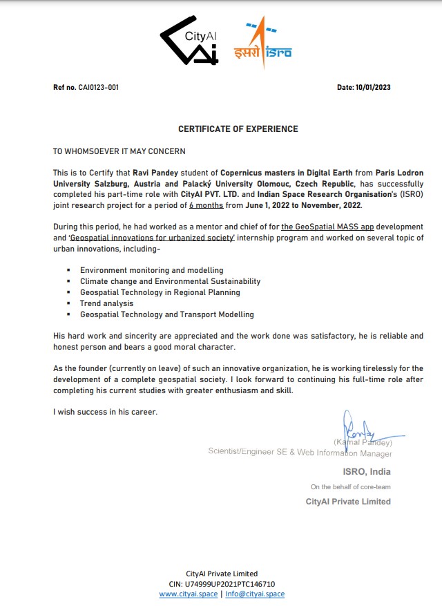
The another opportunity I had with CityAI and Indian space research organisation, was a great chance for learning and professional development. An aim of this Global internship program is to provide, amplify sustainable practices, and masterclasses on different aspects of ‘Geospatial innovations for Urbanised society’.
CityAI is focused on developing interaction between urban development geo spatial tool developing artificial intelligence for urban development and also working on capacity Building and Research Development. CityAI is re-imagining cities to improve quality of life. CityAI is Taking a comprehensive approach toward a more sustainable and affordable future.
CityAI focus on geospatial which enables them to see patterns which are difficult using traditional data analytics and visualization. Their experience of supporting a myriad of cross-industry clients gives them a unique perspective to solve complex challenges. CityAI integrate patented tools and algorithms on their platform into products, based on the kind of challenges the customers face.
CityAI is working on innovating advanced geospatial technologies and planning neighbourhoods that combine urban innovations. These innovations are for a greater impact on sustainability and affordability. Also, the Firm is working on ‘Capacity Building’ and ‘Research Development’.
CityAI is working on innovating advanced geospatial technologies and planning neighbourhoods that combine urban innovations. These innovations are for a greater impact on sustainability and affordability. Also, the Firm is working on ‘Capacity Building’ and ‘Research Development’. In research development currently working on multiple tracks-
- Environmental Monitoring and Modelling,
- Climate Change and Environmental Sustainability,
- Geospatial Technologies in Regional Planning,
- Trend Analysis (Regional Planning Aspect),
- Geospatial Technologies in Transportation/Mobility.